Water Levels
Lake Facts
Lake Surface Area: 96.7 km2
Watershed Area: 186 km2
Volume: 603 000 000 m3
Max Depth: 9.1 m
Mean Depth: 6.2 m
Shoreline length: 46 km
Mean Residence Time: > 100 yrs
Historical Water Level Fluctuations- Lake levels naturally fluctuate seasonally and over time. The level of the lake is determined by the offsetting balance of water coming into the lake and water leaving the lake. The historical monitoring record shows the range of water level elevations vary in the range of 1.2 metres. The natural shoreline and lake environment adapted to water level variations.
Pigeon Lake Water Levels
Pigeon Lake is an artifact of the glacial period and has existed for thousands of years. Over time, it has established its current footprint, with a surface area of 96.7 sq. km and a watershed drainage area of 186 sq. km. The lake has also established a diverse shoreline characterized by beaches, banks, cliffs and reed beds, depending on the exposure to prevailing weather conditions. The lake lies in the headwaters of the Battle River Basin and has a relatively small watershed to lake surface area ratio of 2:1.
It exists because of its ability to capture precipitation from direct rainfall and surface runoff into Pigeon Lake from creeks and ditches. Water flows into the lake through several intermittent streams and one permanent creek. Precipitation that is absorbed into the ground and flows to the lake as groundwater is also important to maintain the lake. Offsetting these inflows is evaporation from the lake, which is very high in late summer when the water temperature is high, as well as the relatively infrequent outflows from the lake through Pigeon Lake Creek. Pigeon Lake discharges through the weir into Pigeon Lake Creek located at the south end of the lake and flows southeast into the Battle River.
What causes water levels to vary?
Pigeon Lake water levels are responsive and sensitive to variable climate cycles. Surface flows and direct precipitation account for the majority of the inflow but groundwater flows to the lake throughout the year also provide support to the lake level. The majority of water leaving the lake is from surface evaporation due primarily to the lake’s large surface area to volume. A minor amount also periodically discharges over the weir into Pigeon Lake Creek, and also directly into the groundwater system. Domestic use and other withdrawals are relatively insignificant. There is no evidence that the long-term average water volume in Pigeon Lake is decreasing or increasing beyond historical natural variability.

This graph shows a comparison of the 2-year average precipitation (purple) to the recorded water level (blue). Generally, the levels correlate to the amount and pattern of precipitation. The time-lag between the water level and precipitation amount are primarily due to the influence of groundwater on the runoff to the lake. When the ground is saturated, runoff increases causing the lake level to rise. Similarly, during drier years, the groundwater helps stabilize the lake level by draining into the lake.
Reference: Digital Elevation Model of the Pigeon Lake watershed showing recent satellite imagery overlaid on terrain. 2020 Airbus OS, Licensed by Plant Lakes Geomatics Corp., geomatics.planet.com; Airborne Imagine. Northwest Geomatics Ltd., and Alta US Ltd.
For current and historic lake level information, go to the federal government's Real-Time Hydrometric Data for Pigeon Lake, or Alberta Environment and Parks’ Alberta Rivers page (zoom down to Pigeon Lake). As well, go to the Alberta Climate Information Service (ACIS) for information about precipitation and climate.
Water Balance of Pigeon Lake
During wet climate cycles total inflows exceed total outflow and lake levels will rise. When climate conditions are dryer than normal, or during a drought, the evaporation loss exceeds total inflow and lake levels drop.
Changes in Lake Level throughout the Year
Although each year presents a different set of climatic conditions, there is a typical seasonal water level trend regardless of the yearly climatic conditions.
Freshet
Prior to the ice coming off the lake, the snow melting in the watershed generates a large surface inflow to the lake. This event is called the freshet.
Spring Runoff
Depending on the amount of snowfall, spring precipitation levels and the temperature, spring runoff may last from a few days up to several weeks. Historic average water levels show a gradual increase from breakup until July and then a steady decline during the drier months of late summer.
Summer Evaporation
Pigeon Lake experiences the greatest monthly average evaporation losses from May to August with a maximum average net evaporation of 150 mm in July. During these times, declines in water level of several mm/day are typical. The open water season generally trends with lowering water levels towards fall and into winter.
The Risks of High-Water Levels
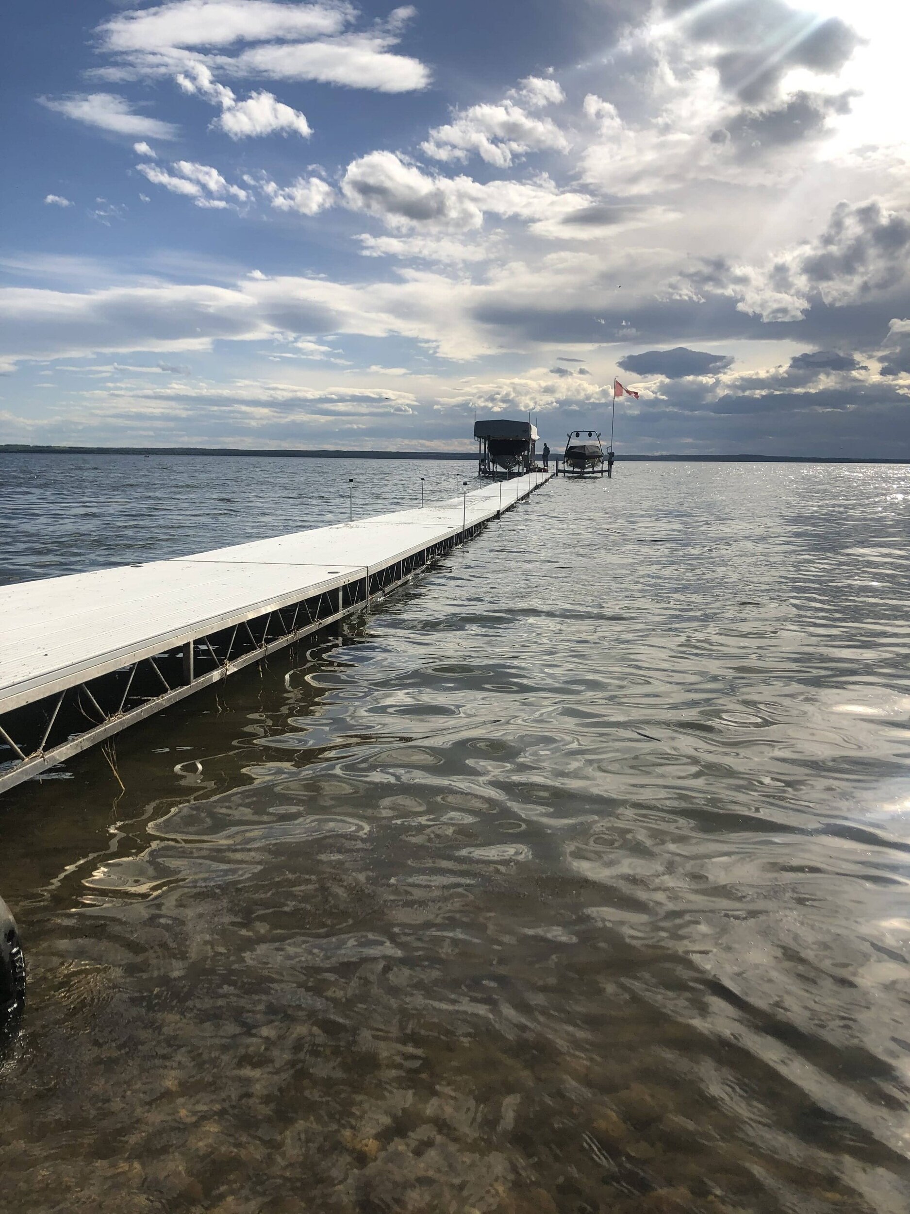
The beach area between the water’s edge and the bank provides protection from erosion and property damage during high wind and flood conditions. In sustained periods of high-water levels, the capacity of the lake to accommodate flood conditions is reduced, and shoreline erosion will occur. During the 1980s, when Pigeon Lake experienced an extended period of high water, many lakeside residents lost significant portions of their lots because the wave action exceeded the protective area of the beach. Development incursion and inappropriate shore modification can exacerbate shore erosion during high water.
In the wintertime, high water levels increase the threat of damage from ice thrusts. Ice thrusts are caused by the thermal expansion of the ice sheet under certain climatic conditions. During these events, the sheet of lake ice expands into the shore displacing frozen ground that has led to collapsed building foundations and upthrown lakeside properties.
Influence of the Weir on Lake Levels
The weir, originally constructed in 1914, was intended to reduce the sudden discharge of water from Pigeon Lake during summer storms to help prevent the flooding of hay lands downstream along the Pigeon Lake Creek. The operation of the weir helps to control the flow of water from the lake during periods of high-water conditions to address flooding conditions both in Pigeon Lake and in the downstream wetlands and helps to maintain the long-term average lake elevation at or near the weir elevation of 849.95 meters above sea level (MASL). Refer to the Weir Fact Sheet for more information.
PLWA Resources

Weir
Reference
Data used in the factsheet can be found in the Pigeon Lake Watershed Management Plan - Appendix C, Technical Summary.
Collaboration
Special thanks to Alberta Environment and Parks for assistance in developing this information sheet.